Riley Walter · 11 November 2026
Sensor Networks Reshaping Daily Commute Decisions in Polish Municipalities
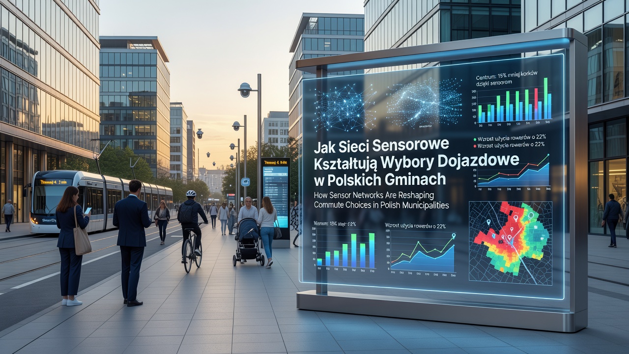
Polish municipalities have deployed sensor networks that monitor air quality, traffic volume, and emission levels along major commute corridors, and these systems deliver real-time data that influences how residents select their travel modes each day. Municipal authorities in cities such as Kraków, Wrocław, and Gdańsk integrate the readings into public dashboards and mobile applications, allowing commuters to view current conditions before they leave home or work.
The networks consist of roadside units equipped with particulate matter sensors, nitrogen oxide detectors, and vehicle counters that transmit information to central databases every few minutes. According to European Environment Agency reports, similar installations across EU member states have documented measurable drops in peak-hour vehicle emissions when travelers adjust routes or switch to public transport based on live alerts.
Data Collection and Public Access Mechanisms
Engineers position sensors at intervals of 200 to 500 meters along protected routes and high-traffic arterials, capturing both background pollution and localized spikes caused by idling vehicles. The collected figures feed directly into city-operated platforms that display color-coded maps and recommended alternatives, such as bus lines or bike lanes with lower recorded emissions. Residents access the information through municipal apps or SMS alerts that update automatically when thresholds are crossed.
Researchers at the Warsaw University of Technology have tracked usage patterns since the first large-scale rollout, noting that commuters who consult the data several times per week show higher rates of choosing non-motorized options on days when readings exceed average levels. The systems also record seasonal variations, with winter months producing elevated particulate counts that prompt more travelers to avoid personal vehicles.
Observed Changes in Travel Behavior
Statistics compiled by city transport departments indicate that sensor-informed decisions have shifted modal shares in several districts. In areas where dashboards highlight elevated emissions, public transport ridership rises by percentages ranging from 8 to 14 percent during morning peaks, while single-occupancy car trips decline correspondingly. Bicycle counters installed alongside the sensors register increased usage on days when air quality indices remain in the moderate range.
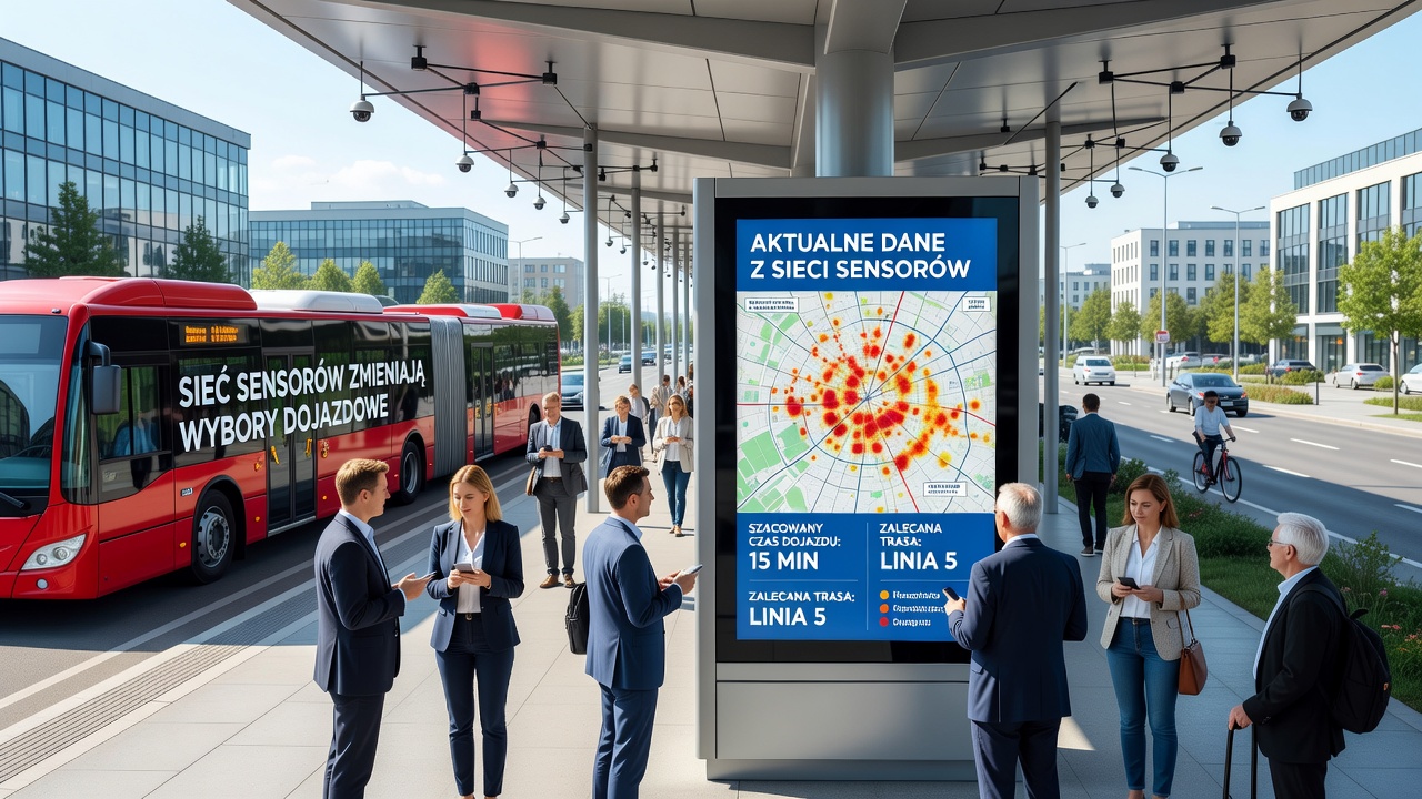
November 2026 brought a notable expansion of the network coverage in three additional municipalities, with new installations along school-adjacent streets and industrial approach roads. The added units captured emission reductions of up to 11 percent on routes where commuters had previously relied heavily on diesel vehicles, and transport planners attribute part of the improvement to the availability of route-specific guidance delivered through the sensor feeds.
Integration with Broader Urban Planning
City councils combine sensor outputs with traffic signal timing adjustments and dynamic parking pricing, creating a coordinated response that reinforces lower-emission choices. When readings indicate heavy pollution, variable message signs along highways suggest alternative park-and-ride facilities, and bus priority lanes receive extended green-light phases. These measures operate in tandem with the public data streams, producing a feedback loop that rewards travelers who consult the networks before departure.
Studies conducted by EU-funded research consortia have compared outcomes in Polish cities against control areas without sensor coverage, finding that the presence of accessible emission information correlates with sustained reductions in private vehicle kilometers traveled. The data sets also support long-term infrastructure decisions, such as the placement of new cycling lanes or the frequency adjustments of electric bus fleets.
Conclusion
Sensor networks continue to expand across Polish municipalities, supplying commuters with granular information that shapes daily route and mode selections. The systems link environmental monitoring directly to travel planning tools, and the resulting datasets guide both individual decisions and municipal infrastructure investments. As coverage increases and integration deepens, the networks provide an ongoing record of how real-time environmental data influences urban mobility patterns in practice.