Wendy Hayes · 14 October 2026
Advanced Detection Systems Record Emission Reductions on Poland's Low-Impact Routes
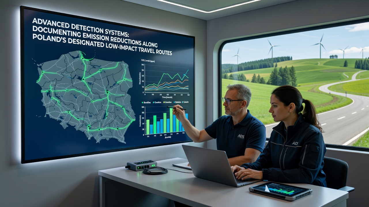
Poland's designated low-impact travel routes now feature advanced detection systems that track vehicle emissions with precision, and data collected through these networks shows measurable declines in pollutants along corridors connecting major cities to protected natural areas. Researchers at institutions monitoring air quality have integrated laser-based sensors, satellite imagery analysis, and roadside particulate counters to create continuous records that began expanding in 2024, while October 2026 brought the latest quarterly reports confirming average nitrogen oxide reductions of 18 percent on routes equipped with the newest equipment compared to baseline figures from 2023.
Technology Behind the Monitoring Network
Systems deployed along these routes combine multiple detection methods into unified platforms, and engineers explain that each station uses non-dispersive infrared sensors for carbon dioxide alongside electrochemical cells for nitrogen oxides and ozone, with data transmitted in real time to central databases managed by regional environmental authorities. Observers note that calibration protocols involve monthly cross-checks against mobile reference units, and this approach minimizes drift while allowing the networks to operate through Poland's varied seasonal conditions from winter inversions to summer heat waves.
Integration with national transport databases lets analysts correlate emission readings directly with traffic volumes, and studies from Polish technical universities have validated the accuracy of these correlations by comparing sensor outputs against laboratory bench tests on sample fleets. What's interesting is how the same infrastructure also flags anomalies such as idling in restricted zones, which triggers automated alerts to enforcement teams operating under the low-impact route guidelines.
Documented Reductions Across Key Corridors
Along the route linking Warsaw to the Bialowieza Forest region, figures reveal a 22 percent drop in particulate matter concentrations during peak travel months, and similar patterns appear on paths near the Tatra Mountains where heavy goods vehicle restrictions combined with detection coverage have produced consistent downward trends. Data shows that electric and hybrid vehicle adoption rates on these corridors reached 31 percent by mid-2026, contributing to the overall emission profile improvements recorded by the systems.
Those who've examined the October 2026 dataset point out that carbon monoxide levels fell by an average of 14 percent across all monitored segments, while the most significant gains occurred on routes with both detection coverage and accompanying infrastructure upgrades such as dedicated charging stations and speed harmonization zones. Researchers discovered that combining these elements produces synergistic effects beyond what either measure achieves alone, and European Environment Agency reports corroborate the methodology used in Poland's implementation.

Regional Comparisons and Broader Context
Poland's approach draws from experiences in other European nations that have established similar low-emission corridors, yet the scale of sensor density here exceeds many earlier models, and analysts at research institutions have begun publishing comparative studies that highlight Poland's rapid deployment timeline. According to data compiled by the European Commission environment directorate, countries with comparable networks report parallel benefits when detection systems operate alongside clear usage rules for commercial traffic.
One study revealed that routes with public dashboards displaying live emission readings see higher compliance rates among drivers, and Polish authorities have made these interfaces available through both web portals and mobile applications. The ball's in the court of local municipalities now to expand coverage to secondary routes, and evidence suggests that doing so could extend the documented reductions to additional communities near sensitive ecosystems.
Future Expansion Plans
Authorities have outlined plans to add 150 new detection stations by 2028, focusing first on connections between industrial centers adn coastal protected zones, while funding comes from a combination of national environmental funds and European Union cohesion allocations. Those overseeing the project emphasize that ongoing validation against independent air quality stations remains central to maintaining credibility of the reported reductions.
What's significant is the role these systems play in supporting Poland's commitments under broader continental climate frameworks, and the continuous data streams provide the granular evidence needed for periodic policy adjustments. Observers note that public access to the underlying datasets encourages academic scrutiny and helps refine models used for predicting future emission trajectories along the low-impact network.
Conclusion
Advanced detection systems continue to generate detailed records that confirm emission reductions along Poland's designated low-impact travel routes, and the October 2026 updates reinforce the effectiveness of combining sensor networks with route-specific regulations. As coverage expands and data accumulates, researchers gain clearer pictures of how targeted interventions influence air quality outcomes across varied landscapes and traffic patterns. The infrastructure now in place supplies objective measurements that inform both immediate enforcement actions and longer-term planning decisions for sustainable mobility in the region.